
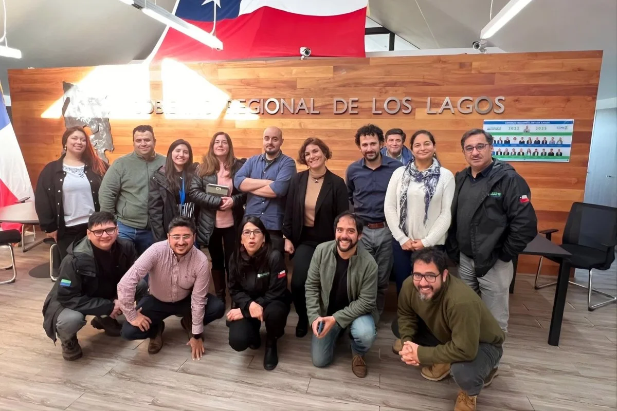
The tool integrates high-resolution data with territorial and climate information in an interactive map that improves decision-making and risk management. “We have already managed to model the climate future of the 30 communes in the region,” said a member of the team.
With the aim of supporting territorial planning and risk assessment for climate adaptation in municipalities, regional governments and companies, Futuros Climáticos was born, an interactive technological platform that allows projecting climate change scenarios at a local scale, translating complex information and generating reports to facilitate decision making. Currently, the tool is being used by municipalities in the Los Lagos Region, after carrying out a pilot in conjunction with the Regional Government between 2022 and 2024.
The solution is part of Futuros Territoriales, an initiative promoted by the Earth and Space Observation Center of the Faculty of Engineering and Sciences of the Adolfo Ibáñez University (UAI), which integrates satellite data, modeling and territorial analysis to support decision-making and the design of public policies. Its focus is on anticipating scenarios and developing applied tools against climate change.
Futuros Climáticos originated in a project from the National Fund for Scientific and Technological Development (Fondecyt) awarded in 2020 and was initially developed by CSIRO-Chile Research, under the direction of Francisco Bravo – today an academic at the UAI -, together with an interdisciplinary team made up of researchers Claudio Pareja, Álvaro Salazar, Diego Ocampo, Jonathan Hodge, Rodrigo Bustamante and María Paz Acuña.
Acuña presented Futuros Climáticos in the 19th edition of the recognitions that the innovation academy for women Her Global Impact awards to the best projects of each generation, as a success story after winning the “R&D Entrepreneurship” category in version 18.
In this context, the researcher explained to DF that the platform integrates “high-resolution climate data, at a scale of 5 kilometers, with relevant territorial information” and a predictive model, which together allow different scenarios to be interactively explored through a map-based interface. In this context, the researcher explained to DF that the platform integrates “high-resolution climate data, at a scale of 5 kilometers, with relevant territorial information” and a predictive model, which together allow different scenarios to be interactively explored through a map-based interface.
Acuña said that the use of the platform in the Los Lagos Region has made it possible to generate community reports to identify opportunities for climate adaptation, for example, in agricultural development, and risks in the face of extreme events, such as the increase in the frequency and intensity of rains. “It has been possible to model the climate future of the 30 communes of the region in fundamental climate variables.” He added that they seek to apply the platform in other regions, such as Magallanes, and expand its use to the private sector, mainly in environmental companies and consulting firms. He also announced that they are in talks to venture into sectors such as aquaculture.
Source: Diario Financiero